Plane and Geodetic SURVEYING
Free Shipping in 3-5 Business days
Chapter
1. INTRODUCTION TO SURVEYING
01205
A
Pages
1-13
Introduction - Classes of surveys - Topographical surveys - Land surveys - Engineering surveys (construction surveys) - Underground surveys - Geodetic surveying - Classification based on the instruments or methods employed - Field notes - Surveying measurements - Field and office work - Principles of surveying - Principle of working from the whole to the Instrumental errors - Systematic, repeating, accidental, part - Errors in surveying - Personal errors - Natural errors compensating errors - Discrepancy - Mistakes - Probability of errors - Accuracy versus economy - Units of measurements -Objective questions - Exercise.
2. CHAIN SURVEYING
10-74
Introduction - Principles of chain surveying - Measurement of distances - Pacing - Passometer - Wheel pedometer or b viameter-Chaining - Types of chains - Tapes - Metallic tape - Steel band - Steel tape - Invar tape - Cloth or linen tape- ast-Relative merits of chain and steel band-Arrows (Chain pins) - Instruments used for marking stations on the ground-Pegs Ove - Ranging Rods - Ranging poles - Offset rods - Plumb bob-Care of equipment - Ranging a survey line - Direct Ranging al -Indirect Ranging-Chaining a line - Unfolding a chain - Folding a chain - Horizontal measurement on sloping ground- Line Ranger - Chaining on inclined ground - Stepping - Relative merits of stepping and measuring on slope - Drop Arrow 2- - Correction to measurements - Correction for slope - Slope allowance or hypotenuse allowance - Instruments used to set -out perpendicular to a chain line - The cross staff-The optical square - The prism square- Errors in chaining - Errors due HT 01 to various causes - Mistakes in chaining-Accuracy - Setting out works in chain surveying - Setting out a right angle bytal chain-To find the foot of the perpendicular on a chain line from a point outside the chain line-To set out a line through a given im point parallel to a chain line - Maximum length of offsets - Taping procedure - Tape corrections - Correction for absolute length-Correction for temperature-Correction for pull-Correction for sag - Normal tension - Correction for alignment - Correction for reduction to mean sea level - Low coefficient tapes - Chain surveying procedure - Conventional signs- Surveying for town work-Obstacles in chaining and ranging-Cross staff survey-Solved problems 2.1 to 2.36-Objective questions-Problems for exercise. aido E.01 or 1.01 amsidong bevlo?- ost lovitu
el
3. SCALES
Introduction-Types of scales - Plain scale-Diagonal scale - Vernier scale - Scale of chords - Solved problems 3.1 to 3.6.ht
4. COMPASS SURVEYING lence-1
Introduction - Traverse - Closed traverse - Open traverse-Units of angular measurements - Angles related to traverse- Bearing of a line-Meridian through a station-True meridian-Magnetic meridian-Arbitrary meridian-Grid meridian- Magnetic declination-Variation of magnetic declination-Diurnal or Daily variation - Annual variation - Secular variation - Irregular variation-Magnetic dip - Bearing designations - Whole circle bearing system-Quadrantal or Reduced bearing system-Fore and Back bearings - Sources of error - Mistakes - Local attraction - The prismatic compass - The surveyor's compass-Traverse surveys with chain and compass - Plotting a traverse- Latitude of a line - Departure of a line - Closing error - Omitted measurements in closed traverses - Objective Questions - Solved problems 4.1 to 4.83. Problems for
exercise.
5. PLANE TABLE SURVEYING
Introduction - List of equipments - Setting up the plane table-Orienting the plane table-Orientation by trough compass -Orientation by back sighting-Methods of plane Table surveying - Radiation method - Intersection method - Traversing method-Resection method - The Three point Problem-Trial and Error Solution-Mechanical solution-Graphical Solution -The two point problem - Errors in plane tabling-Objective questions-Solved problem 5.1.
6. LEVELLING.
Introduction - Definitions - Spheroid - Vertical line - Horizontal line - Horizontal plane - Level line - Level surface - Datum Plan - Bench Mark-Reduced level - Basic concepts - Methods of Levelling - Levelling Instruments - Water Level Spirit level -The Dumpy level-The Wye level - The reversible level - The Cushing's level - The tilting level - Levelling Adjustments of a level-Care of equipment - Principles of Direct Levelling-Common terms in levelling-Signals-Entries staff self reading staff - Target Staff - Telescope - Optical principles - The diaphragm - Magnification - Temporary in level book - Plane of collimation method - Rise and Fall method - Cross sections - Grades of Levelling - Balancing Backsights and Foresights - Errors in levelling - Limits of Error - Curvature and Refraction - Reciprocal levelling - Permanent Adjustment of a level - Sensitiveness of a bubble tube - Setting out gradients by Sight rails and Boning rods - Common difficulties and obstacles in levelling - Barometric Levelling - Hypsometry - Solved problems 6.1 to 6.56- Objective questions-Problems for exercise.
7. CONTOURS AND CONTOURING
254-266
Radial contouring - Contour line Introduction-Characteristics of contours - Relation between contour map and profile - Ridge and valley lines - Contour interval - Methods of contouring - Direct method - Block levels - Cross sections construction - Methods of interpolation of contours - Locating a gradient line on a contour plan - Uses of contour plans -- Solved problems 7.1 to 7.3-Objective questions - Problems for exercise.
8. AREAS
............ 267-293
Introduction - Units adopted for measurement of areas - Areas of some geometric figures - Measurement of areas of land surveyed - Mid ordinate rule - Mean ordinate rule - Trapezoidal rule - Simpson's rule - Double meridian method - 01 Determination of areas by departure and latitude-Determination of areas by coordinates - Measurement of areas from plans and maps-Measuring areas by planimeter-Theory of the planimeter-Solved problems 8.1 to 8.20. Problems for exercise.inl 9. VOLUMES
294-325
Introduction - Measurement from cross-sections - Calculation of volume -- End area method - By prismoidal rule -- Prismoidal correction-Curvature correction-Volume from spot levels - Volume from contour lines-Mass-Haul diagram -Solved problems 9.1 to 9.18-Problems for exercise.
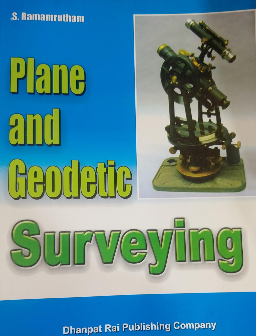
10. THE THEODOLITE
Introduction - Basic components of a transit theodolite - Temporary adjustment of a theodolite -Cross hairs - Care of telescopes-Sensitivity of bubble tube - Measurement of Horizontal angles - Measurement of Vertical angles - Measuring nin horizontal angles by repetition and by reiteration - Errors in Adjustments of a theodolite - Permanent Adjustment of a theodolite - Care of the transit-Sources of error in transit work - Prolonging a straight line - Prolonging a line past an obstacle-Running a straight line between two points-Establishing the point of intersection of two straight lines - Obstacles in theodlite surveying-Setting out perpendiculars - Setting out parallel lines-General trends in modern theodolites-Wild's olites Wild's universal theodolite - Solved problems 10.1 to 10.3 objective questions.
11. TACHEOMETRIC SURVEYING
Introduction-Systems of tacheometry - The tangential system-Eckhold's omimeter- Accuracy in tangential tacheometryinl -The subtense system-The subtense bar-Sources of error-Serial measurement by subtense bar-Auxiliary base - Method e-of two auxiliary bases - The stadia system - Fixed hair method - The tacheometer - Constants of a tacheometer - The 40+ tacheometric equations for horizontal and inclined sights-Determining the constants of a tacheometer - Movable hair methodetel -The anallactic lens - Errors in stadia measurements - Beaman stadia Arc - Stadia levelling - Transit stadia surveying-h Errors in stadia measurements - Direct reading Tacheometer (Reduction or self reading tacheometer)- Jeffcot Direct reading tacheometer-The telemeter - Solved problems 11.1 to 11.59. Problems for exercise.
12. TRIGONOMETRICAL LEVELLING
Introduction - Determining heights of stations - Base of object accessible - Base of object inaccessible - Single plane method - Double plane method - Curvature and Refraction-Axis - Signal correction - Solved problems 12.1 to 12.17-Problems for exercise.
13. CURVE RANGING.
Introduction-Classification of curves-simple, compound, reverse, transition, vertical curves-Simple curves-Point of 0- intersection-Deflection angle - Back tangent and Forward Tangent-Apex of curve - Apex or External distance - Long chord-Mid-ordinate-Length of curve-Unit chord and subchord - Degree of a curve-Selection of curve-Systems of setting out curves-Chain and tape system - Theodolite and chain system-Methods of setting out simple curves - By offsets from end tangent - By offsets from long chord - By successive bisection of arcs - By offsets from chords produced- Rankine's method of deflection angles-Obstacles to curve ranging -- Special problems on curve ranging - Passing a curve through a given point - Changing the radius for a given change in tangent length - Shifting the forward tangent without changing the radius of the curve-Shifting the forward tangent changing the radius of the curve-Changing the direction of the forward tangent without changing the point of tangency - Compound curves - Tangent lengths - Need for compound curves-Reverse curves - Reverse curves between parallel straights - Reverse curve between inclined straights-Diversion curves - Transition curves - Need for transition curves - Cant for curved routes - Length of a transition curve - Ideal transition curve - Various curves used as transition curves-Clothoid or Euler spiral-The cubic spiral-the cubic parabola -Lemniscate of Bernoulli-Vertical curves-Need for vertical curves-Gradients-Length of vertical curves-Geometry of the vertical curve-Sight distance-Solved problems 13.1 to 13.82-Objective questions-Problems for exercise. not bon elevation of fenable to males
14. MINOR INSTRUMENTS.
The hand level - The Abney level - The Indian clinometer - The Box sextant - Ceylon Ghat Tracer-Burel hand level-The foot rule clinometer.
15. TUNNEL SURVEYING
Introduction-Setting out Tunnels - Surface survey -- Transferring the alignment underground- underground sights. The 11-10 Weisbach triangle-Transferring levels underground - Solved Problem 15.1MSA TO oliviado milbio muon-anovisedo nibino-noised to
16. HYDROGRAPHICAL SURVEYING
Introduction - Shore line surveys - Shore lines harbours, lakes and rivers - Ocean shore lines - Sounding operations Equipment in sounding operations - Shore signals-Sounding by rod-Sounding by lead - Methods of locating soundings 88-The three point problem-Mechanical, graphical and Analytical solutions - Tides - Tidal theory-The Equilibrium theory -Tide producing force-Tidal day-Solar and lunar tides - Spring and Neap tides-Priming and lagging-Discrepancies in the Equilibrium theory of tide formation - The Primary Tide Wave - Derivative waves-Age of tide-Lunitidal Interval- Mean Establishment-Vulgar Establishment - Height of tides - Tide Gauges - Staff gauge, Float gauge and weight gauge- Self registering gauges - Solved problems 16.1 to 16.5 objective questions - Problems for solution.
17. TRIANGULATION.
Introduction-Geodetic surveying - Triangulation - Single chain of triangles - Chain of quadrilaterals - Chain of central point poygons-Grades of triangulation - First order or Primary triangulation - Second order or secondary triangulation- Third order or tertiary triangulation - Selection of stations - Reconnaissance for triangulation - Station Marks-Signals- Intervisibility of stations-Relative elevations of stations-Profile of Intervening ground-Phase of Signal-Satellite Station - Reduction to centre-Base line measurements - Selection of site for base line-connection of base line to triangulation- standards for length measurements - Preparation of base line - Corrections to base line measurements - Solved problems 17.1 to 17.28-Objective questions - Problems for exercise. 02-hoz edhe si no anoitesz ow! noswied sonataib ashor12-aliM tesitus-abertitel to lollins 18. THEORY OF ERRORS Introduction - Systematic errors - Random errors - Direct and indirect measurements - Independent and conditioned quantities-Weight of an observation - Observed and true values of a quantity-True error-Most probable value-Residual error-Fundamental law of least squares - Laws of weights - Normal equations - Adjustment of Triangulation - Station Adjustment-Figure adjustment - Adjustment of a chain of triangles-Adjustment of two connected triangles-Adjustment of a quadrilateral - Adjustment of a geodetic triangle - Spherical excess - Analysing the spherical triangle - Method of spherical trigonometry - Delambre's method - Legendre's method - Solved problems 18.1 to 18.34 nolistu bus noizesen: £zibqgA
SEC-EBK
19. PHOTOGRAPHICAL SURVEYING
608-645
Introduction-Ground photgrammetry - The phototheodolite - Principle of photogrammetry - Aerial photogrammetry- Types of photographs - Vertical photographs - Oblique photographs - Composite photographs - The aerial camera- Components of an aerial camera-The camera axis - The picture plane - The principle point - Focal length-Fiducial marks -Photographic and Ground Nadirs - Isocentre - Tilt and Tip - Scale of vertical photographs-Displacement of image due to height above ground-Overlap - Forward and side overlaps - Displacement caused by tilt - Determining height of camera from known points-Stereo photogrammetry - Binocular vision and stereoscopy-Stereoscopic fusion - The stereoscope-A Orientation of photographs-Solved problems 19.1 to 19.28-Problems for exercise. and transfer of anoilallotero sdfT: & xibasqgA
20. FIELD ASTRONOMY
Introduction-The sphere and the spherical triangle - Properties of spherical triangle - The earth and the celestial sphere- The terrestrial poles - The terrestrial equator-Terrestrial meridian - Coordinates of a station on the earth-Longitude and Latitude of a place-The standard meridian - Vertical line through a station - The sensible and the true horizons- The zones of the earth-The temperate zones-The frigid zones - The nautical mile- The celestial sphere-- The celestial poles - The celestial equator-The celestial horizon-Zenith and Nadir of a station - The Eastern and Western Hemispheres.
21. COORDINATES OF A CELESTIAL BODY
Systems of coordinates - The Declination - Right Ascension system- The first point of Aries - Circumpolar stars - Transit or culmination of a star-Parallels of declination - The Hour Angle - Declination System - The Altitude-Azimuth system -The orbit of the earth- Equinoxial and Solistice points - Precession and nutation - Relation between altitude, latitude and declination of a star-The Astronomical Triangle - Solved problems 24.1 to 24.24 Problems for exercise.
22. TIME
Introduction - The day - The sidereal day - The solar day - The mean solar day - The mean sun-Apparent Noon and Midnight-Mean noon and midnight-Local and apparent times - The equation of time-Local and Greenwich times - Local and sidereal times -- Standard time-Conversion of Sidereal to mean time intervals and vice-versa - Solved problems-22.1
to 22.4 Problems for exercise.
23. CORRECTIONS TO OBSERVATIONS OF ALTITUDE AND AZIMUTH.... Instrumental Corrections-Corrections to observed Altitudes-Refraction Correction - Parallax Correction-Sun's semidiameter age-Solved Problems 23.1 to 23.7-Problems for exercise.
24. PRACTICAL DETERMINATION OF AZIMUTH
Various types of observations - Meridian observations - Circum Meridian observations - Ex-Meridian observations - Equal altitude observations - Circumpolar star observations - Observation of stars at elongation solved problems 24.1 to 24.12. Problems for exercise.-mille 0-v blodall 2-vuz onil stor? - nolaubonat danimuoe-bored go bang-alangia mod2-anolinago gribouoa ni tragjupet
25. PRACTICAL DETERMINATION OF TIME Various methods of determining time-Meridian observations - Ex-Meridian observations-Prime vertical transit observations T -Equal allitude observations - By elongation of a star-Solved problems 25.1 to 25.5-Problems for exercise.munditiup
26. PRACTICAL DETERMINATION OF LATITUDE. Various methods of determining latitude - Meridian observations - Circum meridian observations - By altitude of Polarise -By the elongation of a star - By prime vertical Transits of a star-Solved problems 26.1 to 26.20. Problems for exercise.
27. PRACTICAL DETERMINATION OF LONGITUDE Introduction - Various methods of determining longitude - By transportation of chronometers. By wireless or Electric T Telegraphy-By wireless time signals - By Flash light signals - By Lunar distances - By the transit of the moon - By lunarl occultations.
28. TERRESTRIAL MEASUREMENTS. Parallel of latitude - Nautical Mile - Shortest distance between two stations on the Earth's surface - Convergence of Meridians-Solved Problems 28.1 to 28.5-Problems for exercise.
Appendix 1: Instruments Inteu-noitsups (mo-angiow to awa-29supa sol to wall limbool The transit theodolite-Reflectors - Prismatic Eye-piece or Diagonal Eye piece - The box-sextant - The Nautical sextant-bA The Artificial Horizon-The Prismatic Astrolabe - The Solar Attachment, toitsbosg a to introibA-Istojalhbsup clo boltam a'oibrogol-bolism andmelo Appendix 2:Precession and Nutation Appendix 3: The Solar System Appendix 4: Stars
Appendix 5: The Calendar
Appendix 6: Spherical Trigonometry
Appendix 7: Useful Tables signspon
Appendix 8: The Constellations
Appendix 9: Planetary Data
